For the first time in 163 years of records, Sydney just registered 15 consecutive winter days above 20ºC.
The temperature at Sydney’s Observatory Hill weather station, located next to the Harbour Bridge, has climbed above 20ºC every day since Monday, August 9. This makes today, August 23, the 15th day in a row to get this warm.
Prior to 2021, Sydney had only ever seen up to 10 consecutive winter days at or above 20ºC in records dating back to 1859. This current warm spell has added five extra days to the previous record.
This unrivalled run of warm winter days has been made possible by a lack of cold fronts or rain over NSW during the last few weeks.
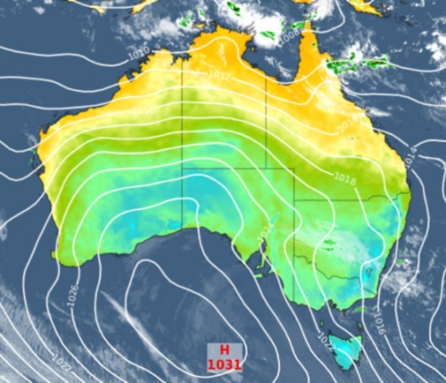
High pressure systems were the dominant feature over southern and southeastern Australia during August to date. This high pressure has acted like a shield, preventing cold fronts from pushing up over NSW.
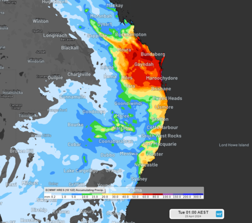
Monday will be the final day of this record-breaking warm spell in Sydney, with a strong cold front and some decent rain finally making its way towards the city.
After reaching a top in the mid-twenties on Monday, much colder air, clouds, rain and blustery winds will grip Sydney and other areas of eastern NSW by Tuesday.
Temperatures across the Sydney Basin will struggle to reach the mid-teens on Tuesday and the city could see more than 30mm of rain, which would make it the wettest day so far this winter. Talk about a change in the weather!
Rooftop solar output across the Sydney basin is likely to be low on Tuesday due to thick cloud cover and rainfall. This comes after a period of sunny days and high solar output for Sydney, which was coupled with the unseasonably warm temperatures.
The cloud cover is a major contributor to reducing the daytime temperature across the basin on Tuesday. Skies will clear from Wednesday as a low-pressure system moves away from the NSW coastal waters.
For more information on our 14-day temperature, cloud and rainfall forecasting, please contact us at business@weatherzone.com.au.


