Heavy rainfall and flooding at a mine site or associated railways or roads can shut down operations for days, costing the business economically.
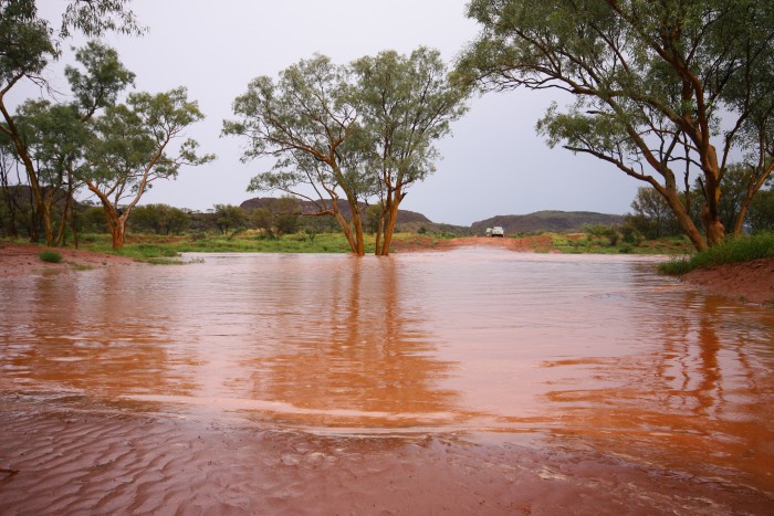
Within the mine site, heavy rain can damage the haul roads used by dump trucks on a daily basis as part of standard operations. In some cases, this can become unsafe and can change the slope, road and ramp stability of the mine resulting in deadly landslides.
.png)
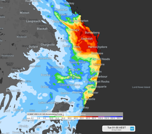
Figure 1: Open cut mine site roads
The effects of heavy rain and flooding on a mine site
Management of water resources is also an important factor on a mine site. Days of heavy rain and flooding can introduce water to already overloaded water reservoirs, rivers nearby or the water table the mine.
This can result in open cut pits turning into dams or water entering tailings or processing facilities which have critical thresholds for rain and water quantity. Rainfall can also affect blast planning as rainfall will impact the explosive and the fumes dispersed when blasting.
Heavy rainfall and flooding can impede transport of materials from the mine to the port, which is either done by road or rail. Overhead lines can be damaged and fallen trees or debris can affect truck or train services to the port, which can delay or reduce shipping of the material.
As well as causing significant damage, heavy rainfall and flooding events can reduce the viability of ports, railway lines and roads.
For this reason, accurate rainfall risk and flood risk systems allow mine sites to plan effectively well in advance. This can minimise operational interruption, reduce economic loss and ensure safety onsite.
Weatherzone’s flood risk system
We have developed a flood risk system which accurately determines rainfall intensity at any given point along your mine site, catchment, road or railway.
The system uses radar technology which typically scans every 6-10 minutes, sending your business regular alerts or updates for your specific mine site or railway using geofencing technology (figure 2).
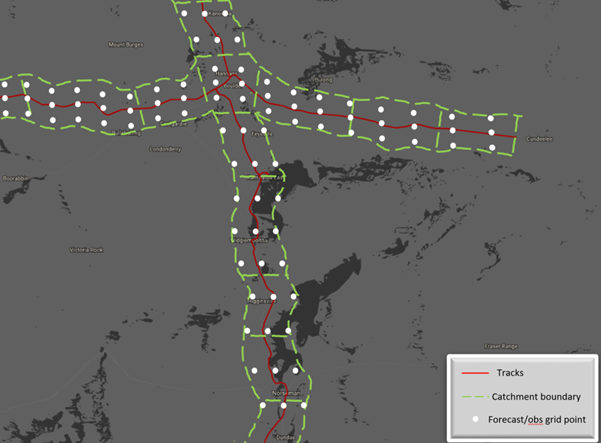
Figure 2: Weatherzone’s rainfall risk system geofencing a large railway system, where for example 78 sections of rail are being monitored by the white forecast grid points or observations.
Will the flood event subside, continue or worsen? The rainfall risk system is used in combination with Opticast™, an industry leading forecast system which forecasts rainfall intensity and accumulation at your location.
Weatherzone also provides businesses with long term rainfall forecasting solutions out to 6 months, which allows businesses to plan well in advance and reduce the impact on day-to-day operations. For more information, please contact us at business@weatherzone.com.au.