Perth is struggling to shake off the shackles of its record-breaking summer with the city enduring another bout of extreme heat this week.
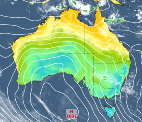
A West Coast Trough is drawing air from the interior towards Australia’s west coast this week, causing temperatures to soar in Perth.
The city is expected to reach around 37ºC on Thursday and 39ºC on Friday, which is 8 to 9ºC above average for early-autumn.
While this heat is abnormal for this time of year, it has become familiar in the last few months after several heat-related records were broken in Perth during summer.
Between December and February, Perth registered 32 days at or above 35ºC and 13 days at 40ºC or higher. These were both new summer records.
Friday’s maximum temperature in the high-thirties will be Perth’s fifth consecutive day above 34ºC. The city hasn’t had five autumn days this hot for 25 years.
Thursday night will also be noticeably warm in Perth, likely only dropping to about 24 to 25ºC, which is about 7ºC above average.
Cooler westerly winds will develop over the west coast of WA, including Perth, from late Friday into the weekend as the trough starts to move inland. These onshore winds should keep the temperature under 30ºC in Perth over the weekend and into the start of next week.
Weatherzone’s Energy services are designed to put the power back in your hands. Our principle value proposition to the energy industry is the timely delivery of highly accurate weather information, to allow intelligent and effective decision making, reducing weather risk and maximizing profit. Weatherzone leads the energy industry with a wide range of products and systems that allow better visibility on forecast generation (such as wind and solar) as well as demand.
No matter how volatile the market is, Weatherzone’s energy services are designed to give you the tools to understand risk and make quick and correct decisions. For more information, please contact us at business@weatherzone.com.au.


