A large upper-level cut-off low pressure system will move over southern and south-eastern Australia next week, most likely between Tuesday and Saturday. This simply refers to a broad, isolated pool of cold air several kilometres above the ground that has moved up towards Australia from the Southern Ocean. This will cause windy, cold, wet and stormy weather.

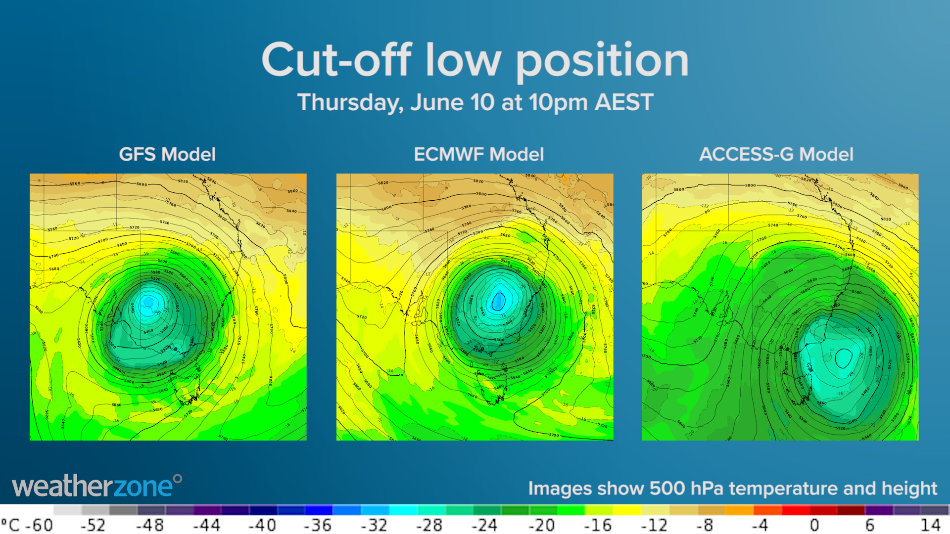
While there is some disagreement between the models regarding its position and strength, they all have the same similar broad-scale pattern that’s known to produce dangerous weather in Australia.
When cut-off lows track over south-eastern Australia, we always see a dynamic mix of weather that typically includes rain, thunderstorms, damaging winds, abnormally cold days and low-level snow in several states. They can also produce flooding, large waves and costal erosion if strong low-pressure systems develop near the surface.
It’s too early to know exactly how the weather near the ground will respond to next week’s upper-level cut-off low. However, there is enough model consensus to know that dangerous weather is likely to occur at some stage next week, probably on multiple days.
More accurate information will become available during this week and early next week, so be sure to keep a close eye on our meteorologists’ warnings and forecasts and your dashboard. For more information, please contact us at business@weatherzone.com.au.