POWERING SMARTER WEATHER DECISIONS
Search

Australia on La Nina Alert


The likelihood of La Niña occurring this summer has increased to 70 percent, prompting the Bureau of Meteorology to issue a La Niña Alert on Tuesday.

Over the past few months, sea surface temperatures in the central and eastern equatorial Pacific Ocean have been getting abnormally cool.

This oceanic cooling has also been accompanied by a response in the atmosphere, which has included trade winds strengthening over the central and western Pacific Ocean in the last few weeks.

Both the atmosphere and the ocean are now showing clear signs of being in a La Niña-like pattern and a number of forecast models suggest that this trend will continue in the months ahead.

Back in mid-September, the Bureau of Meteorology issued a La Niña Watch, indicating that there was a 50 percent chance of La Niña forming later this year.

This week, the Bureau has increased this to a La Niña Alert, which means the odds of La Niña have increased to 70 percent.

While it’s still possible that La Niña won’t develop in the coming months, this is now increasingly unlikely.

La Niña typically brings above average rainfall, below average maximum temperatures and above average overnight temperatures across large areas of Australia. It also typically produces more tropical cyclones during Australia’s cyclone season, which runs from November until April.

If we do see a fully-fledged La Niña forming in the next few months, this would be the first back-to-back La Niña event in a decade.

Latest news

Satisfy your weather obsession with these news headlines from around the nation, and the world.

A very wet weekend for southeast Qld, northeast NSW

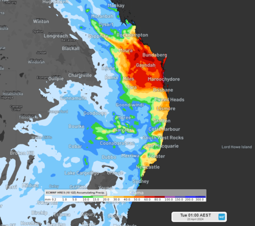
A prolonged rainfall event is set to bring large totals to parts of NSW and Qld from Saturday, with possible heavy falls and flooding.  A low-pressure system in the Coral Sea, a deepening coastal trough and persistent easterlies will bring moisture-laden air into southeast Qld and northeast NSW will bring days of rainfall to the […]

Southerly surges across the southeast

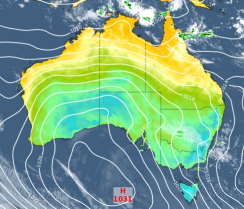
It’s a chilly and showery end to the working week across southeastern Australia, after a strong surge of south to southeasterly winds pushed cool air across the region overnight. Melburnians awoke to some welcome rain with 6 mm in the gauge in the 24 hours to 9 am, most of it falling around dawn. After […]

Generation gone with the wind

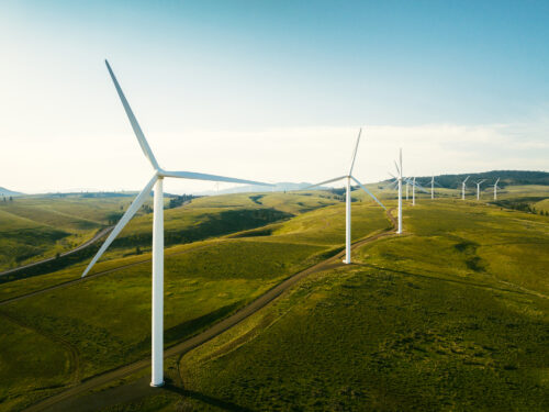
A weeklong stretch of low wind power was broken on Wednesday evening, as a weak cold front marched across southern Australia.  The chart below shows that the National Electricity Market (NEM) has endured a weeklong stretch of low wind generation, with wind power providing around 6% of the NEM’s electricity, down from last year’s average […]

BoM declares El Niño over

The Bureau of Meteorology has officially declared El Niño over and the El Niño Southern Oscillation (ENSO) is now inactive for the first time since 2021, meaning there is no immediate sign of either an El Niño or a La Niña event. “El Niño has ended and the El Niño–Southern Oscillation (ENSO) has returned to neutral. Climate models […]