Most of Australia is tipped to see above average rain in the coming months, despite a recent change in ocean temperatures delaying the declaration of a negative Indian Ocean Dipole (IOD).
Over the last 6-7 weeks, sea surface temperatures across the Indian Ocean have been in a pattern climatologists refer to as a negative phase of the IOD.
This simply means that we have had warmer than average water on the eastern side of the Indian Ocean, near Indonesia, and cooler-than-average water on the western side, near the Horn of Africa.
Negative IOD events are important for Australia, because they typically cause above average rain and below average daytime temperatures over large parts the country in winter and spring (figure 2).
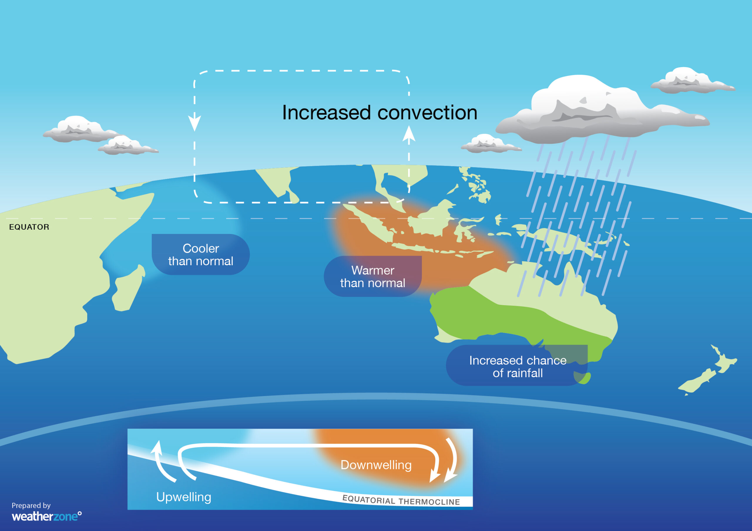 Figure 2: Negative IOD where large areas of Australia usually see above-average rain.
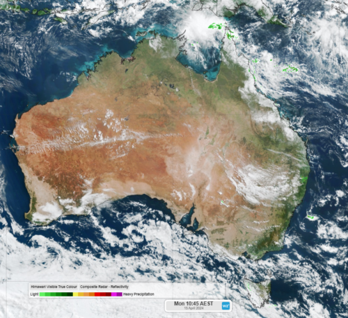
This is exactly what we said last month, with a distinctive negative IOD pattern causing several northwest cloud bands and widespread rain in Australia. This included flooding in some states and soaking rain across the Red Centre.
However, the IOD index needs to stay below –0.4C for eight consecutive weeks to be officially declared as a negative IOD event.
While we saw six consecutive weeks below this threshold between mid-May and late-June, the last week has ducked back into neutral territory thanks to recent warming in the western Indian Ocean.
Despite this technicality, most forecast models suggest that this delay will be brief and a negative IOD is still more likely than not during late winter and early spring.
With the IOD expected to remain in a negative phase through the second half of winter and into spring, much of Australia has an increased change of above average rain, above average cloud cover and below average daytime temperatures in the next few months.
For seasonal updates and long term temperature and rainfall forecasting, please contact us at business@weatherzone.com.au.