It hasn’t really felt like summer in Melbourne so far in the summer of 2023/24.
- The December average maximum temperature was 23.8°C, which is almost a degree below the long-term monthly average of 24.7°C
- The January average maximum to date is 25.4°C, which is half a degree below the long-term monthly average of 25.9°C
While Melbourne nights have been much warmer than usual – making the overall mean temperature higher than average – there has been a distinct lack of scorching hot days so far this summer.
- December’s hottest day was 34°C on the 13th, and that was one of just four 30-degree days in the month.
- January’s hottest day so far has been 33.4°C on the 12th and that will likely stand as the hottest day of the month as Melbourne max temps will stay in the low-to-mid twenties until the weekend.
Why the lack of prolonged hot spells or extreme heat?
Blame SAM, as in the Southern Annular Mode. There are a few factors at play but SAM has definitely been the main culprit for Melbourne’s relatively mild daytime temps this summer.
READ MORE: What is the Southern Annular Mode and how does it affect Australia?
In simple terms, the SAM is an index used to monitor the position of a belt of westerly winds that flow from west to east in the Southern Ocean between Australia and Antarctica.
When the SAM is positive, as it has been for much of the 2023/24 summer, the westerly winds, cold fronts, and low pressure systems are located further south than usual.
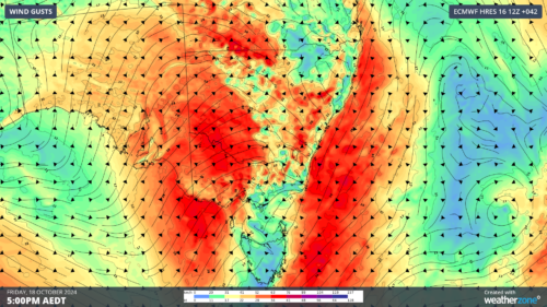
This enhances the onshore flow of winds over eastern Australia, as you can see in the diagram below.
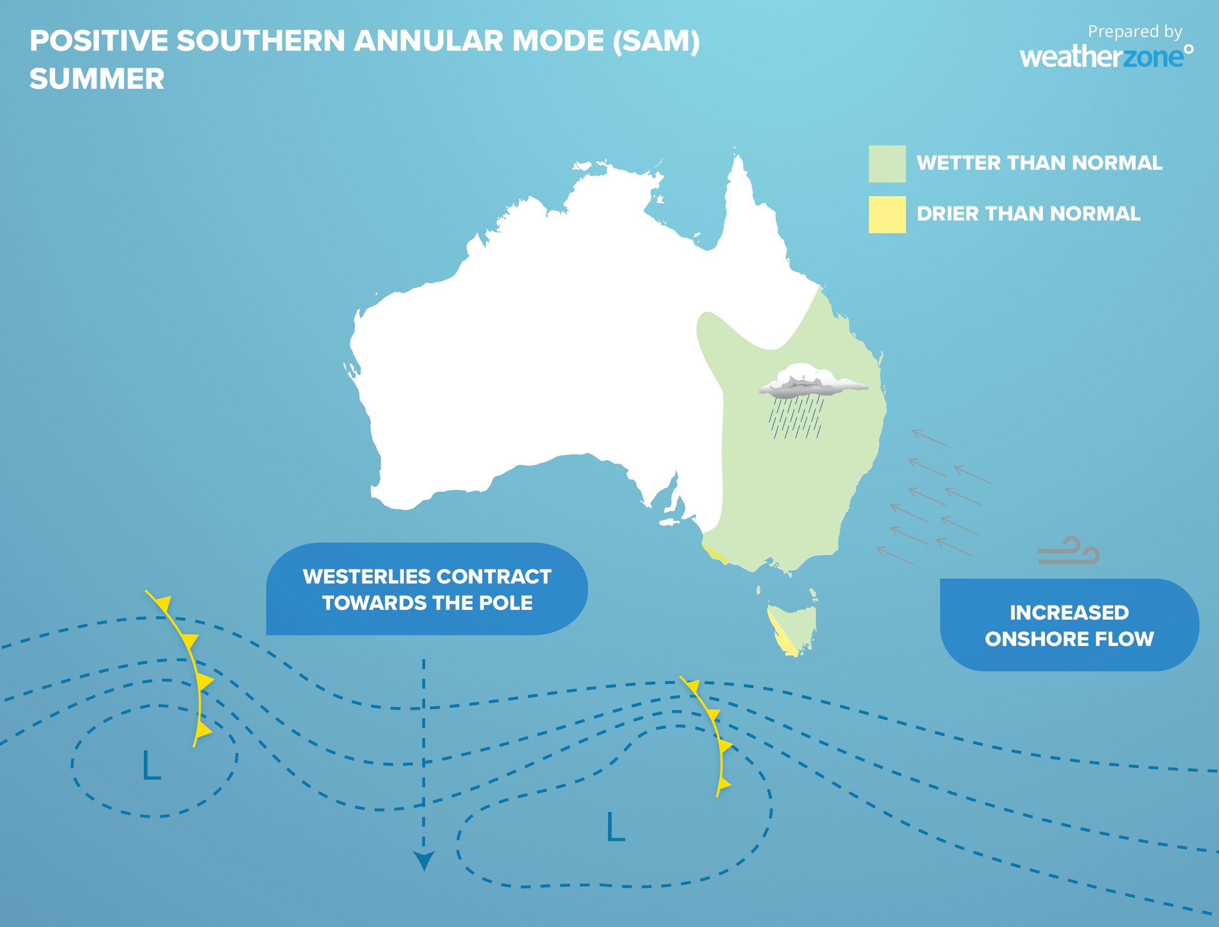
The situation depicted above is pretty close to what Melbourne has experienced this summer.
While there have been severe heatwaves around the interior of Australia, the weather in Melbourne has been strongly moderated by that easterly flow and abundant moisture.
Interestingly, maximum temps in Mildura – in the Mallee region of far northwestern Victoria – have been around 1.5°C above average in both December and January to date.

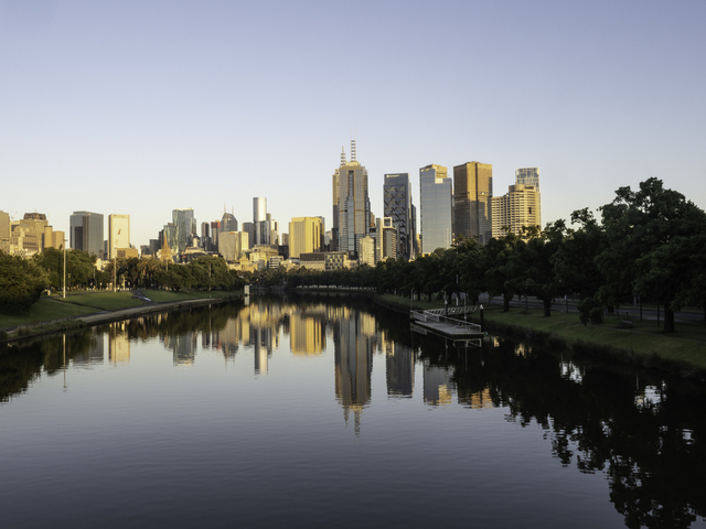
Image: You know it’s hot in Melbourne when you’d even swim in the Yarra. This summer the temptation has been easily avoidable. Source: Chris Gordon.
But the consistently moist onshore winds over southern Vic, bringing air all the way from the Tasman Sea, have prevented the hottest air making its way south.
In the past week, SAM has returned to a more neutral state so there’s a chance of hotter weather ahead through February. Indeed, Melbourne is tipped to reach 31°C this coming Sunday.
But there’s no strong indication at this stage of a heatwave on the horizon for southern Vic, and indeed February max temps are forecast to be close to average or even slightly below average for Melbourne.
Weatherzone Business has grown to become the outright leader within the Australian energy market, serving wind, solar, hydro, trading, utilities and network companies.
You can’t control the weather, but you can gain precision insights to optimise your response. What lights us up is providing your energy business with tailored weather information to reduce your risk and keep you moving ahead of the curve.
Our services cover all aspects – from wind and solar generation to demand forecasts, wholesale markets to retail so, no matter where your company sits, we have solutions for you. We have worked closely with market participants to create products that meet the evolving needs of the sector, aiming to increase safety and profitability for our customers.
Benefit from the timely delivery of accurate weather information, allowing informed and effective decision-making. For more information, please contact us at business@weatherzone.com.au.