It was a chilly one overnight in southeastern Australia as you’d expect in the cold dry air in the wake of a cold front, but freezing temps were also recorded in our two northernmost states.
- Alice Springs recorded an overnight low of –0.3°C, the first subzero night of the year in the Northern Territory.
- For those who love their weather stats, the coldest May night on record in The Alice was –2.7°C in 1987, while the coldest in any month was –7.5°C in July 1976.
- Queensland recorded freezing temps at several spots, including Charleville (–0.3°C), Roma (–0.4°C) and Applethorpe (–0.5°C).
- The coldest overnight temperature anywhere in Australia was the tiny map speck of Liawenee at an elevation of 1057m on Tasmania’s Central Plateau, with a min of –5.3°C.
- The coldest temperature recorded on the mainland was –4.2°C at Glen Innes on the NSW Northern Tablelands. Interestingly, the town at an elevation of 1062 m also recorded the coldest temp anywhere in Australia in the 2023 winter.
- Canberra was the next coldest spot on the mainland with –3.7°C, although it wasn’t quite as cold as the low of –3.9°C on Sunday morning.
- Alpine areas in Victoria and NSW also dipped below zero, although breezy overnight conditions prevented temperatures from plummeting too low. Thredbo was the coldest ski resort with –3.0°C, after registering –6.4°C on the previous mornings.
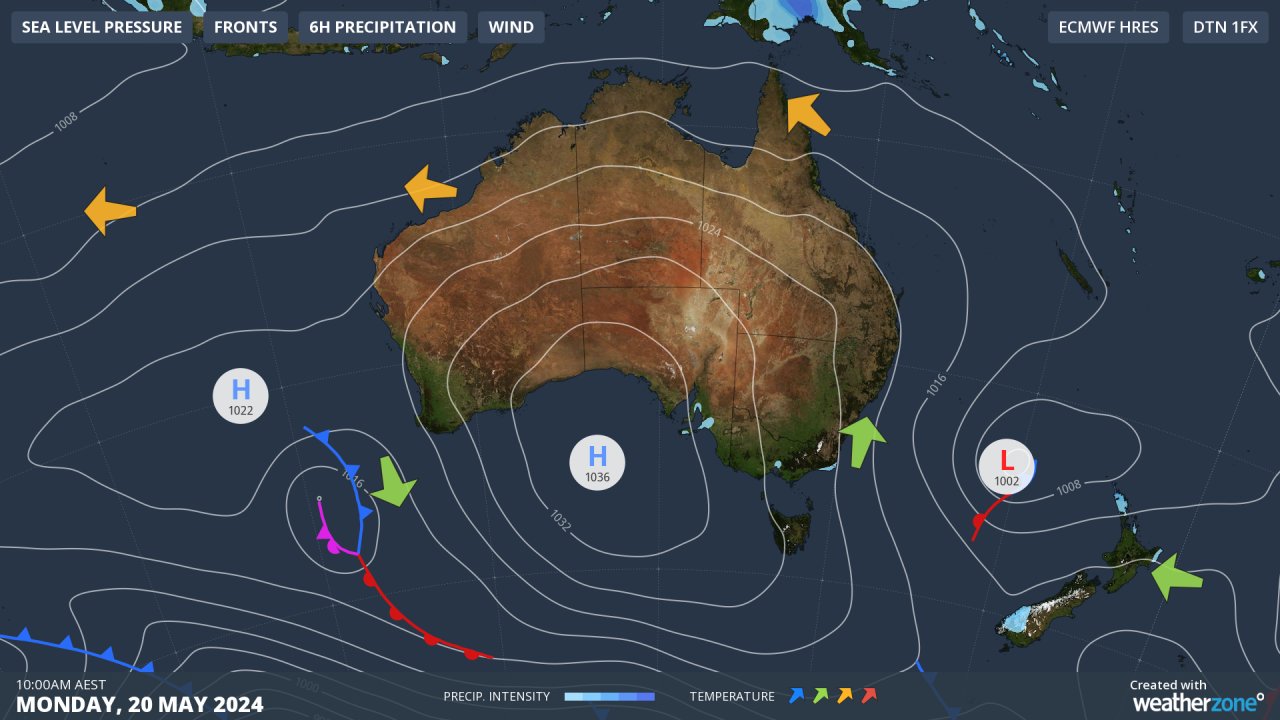
If you look at the Monday morning synoptic chart above, you can see how cold air circulating anticlockwise around the big high centred over the Great Australian Bight has made its way into the northern interior of the country.
High pressure leads to clearer skies, and light winds, which helps cool air settle near the ground.
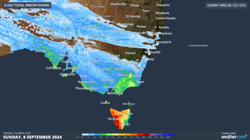
The pattern won’t change too much throughout the working week (check our synoptic charts here) which means you can expect the run of cold nights to persist, although most spots should see temps rise by a few degrees from Monday morning’s chilly minimums.