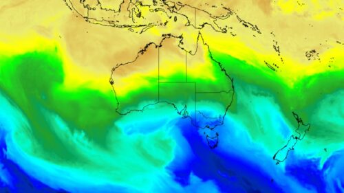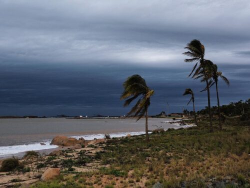
The heaviest August rain in almost half a century has fallen in a town to the north of Perth on Wednesday morning, as a very unstable airmass moved across the region.
A coastal trough extending from offshore Two Rocks to Bullsbrook and a cold front sweeping across southern WA triggered severe thunderstorms on Wednesday morning.
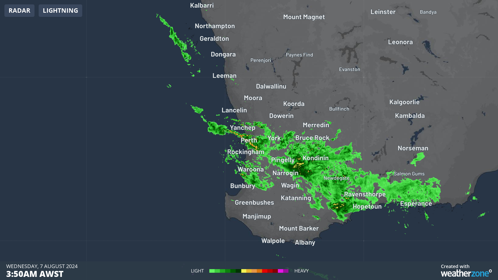
The radar imagery below shows heavy rain and thunderstorms continuously ‘training’ in from the Indian Ocean into the districts north of Perth.
Image: Radar imagery for the three hours leading up to 6am AWST on Wednesday, August 7.
The movement of these showers in the imagery above is commonly known as the ‘train effect’, which is when thunderstorms or showers and the associated heavy rainfall repetitively impact the same location.
This train effect caused flash flooding in the region over early Wednesday morning in the northern suburbs of Perth.
This caused very heavy rain rates at Pearce, to the north of Perth, with 32mm falling in the hour to 6:15am and 10mm in 10 minutes to 5:50am. This 10-minute rainfall rate had an annual exceedance probability (AEP) of 20%, which means that it has a 20% chance of occurring in any given year or it’s a one in every four and a half years.
The largest 24-hour totals to 9am on Wednesday, August 7 were:
- 45.6mm at Pearce, making it its heaviest rainfall in 48 years, with almost all of this rain falling after midnight
- York, to the east of Perth saw the most August rainfall in 26 years with the town recording 24mm
- Jandakot and Garden Island saw the heaviest August rain in seven years, with 48.8mm and 41.8mm falling consecutively.
- Perth Airport saw its heaviest August rain in four years, with 33.4mm falling in just 12 hours.
The heavy rain has eased in this region as of 10am on Wednesday morning, with some rain now extending from the Great Southern down to the southeast coastal district.
Image: Himawari-9 satellite image at 10:10am AWST on Wednesday, August 7.
The rain should clear WA on Wednesday evening for a couple of days as the front moves away from the state into SA, with a high pressure system moving in its wake.
Looking further ahead, another cold front is forecast to sweep across the southwest late Sunday into Monday, which has the potential to bring heavy rainfall and thunderstorms to the region again.
Stormtracker is a severe weather solution that can assist you in observing, in real-time, any storm or event that has the potential to impact your business.
Embedded in Weatherzone Business’ industry interfaces, the system gives you a time advantage when monitoring conditions developing over your infrastructure and location.
Stormtracker is our Global Information System (GIS) tracking tool, providing multiple weather layers and zoom controls overlaid on a map of your location and infrastructure. You can choose a snapshot or full screen view, depending on your requirements. The maps allow you to monitor all weather, and specifically any systems likely to cause risk for your business. You also have the capacity to observe:
- real time lightning and thunderstorm alerts
- localised lightning strike frequency
- official warnings for storm, cyclone, wind, flood and fire
- sentinel hotspot fires and fire agency current incidents
Stormtracker’s radar imagery updates every 10 minutes, so you are always able to respond rapidly to changing conditions. You can customise alerting to notify you when your staff or infrastructure are under threat. With increased situational awareness, your ability to make informed decisions quickly is optimised.
Weatherzone Business’ experience and intelligence gives you a clear path through complex situations. Let us assist you, offering actionable insight when extreme weather poses risk to your business. To find out more, please visit our contact page or email us at business@weatherzone.com.au.