While rain will ease over eastern NSW from tomorrow, there are signs that another round of heavy rain, thunderstorms and strong winds will develop next week.
Heavy rainfall, damaging winds and major riverine flooding have all been observed along the NSW coast and adjacent ranges this week, driven by an atmospheric river feeding into a series of low-pressure trough and an East Coast Low.
The map below shows this dynamic weather pattern on Thursday morning, with the low pressure system sitting just off the lower Mid North Coast of NSW. .

Image: Mean Sea Level Pressure (MSLP) showing a dynamic weather pattern off the NSW coast at 11am on Thursday, March 3.
Fortunately, this system will weaken later this evening, easing rainfall over the east of NSW on Friday.
Unfortunately, this respite could be short lived, with heavy rain, strong winds and large surf possibly returning next week..
Some forecast models predict that another low-pressure system will develop off the NSW coast next week, in response to an upper-level trough moving over southeastern Australia.
This low-pressure system has the potential to bring another round of severe weather to eastern NSW, including another bout of heavy rainfall in flood affected areas, along with damaging winds and large surf.
There are early indications that parts of the NSW coast could see another 100-200mm between Sunday and next Wednesday. However, this is an early prediction and will likely change in the coming days.
The maps below show 24-hour rainfall predictions from two different forecast models for Tuesday next week. This demonstrates how uncertain rainfall predictions are at the moment.

Image: ECMWF (left) and Access- G (right) 24 hour forecast rainfall to 11pm AEDT on Tuesday, March 8.
The main thing to know now is that there is potential for more severe weather in flood-weary areas of eastern NSW next week and more details will become available in the next several days. For more information, please contact us at business@weatherzone.com.au.
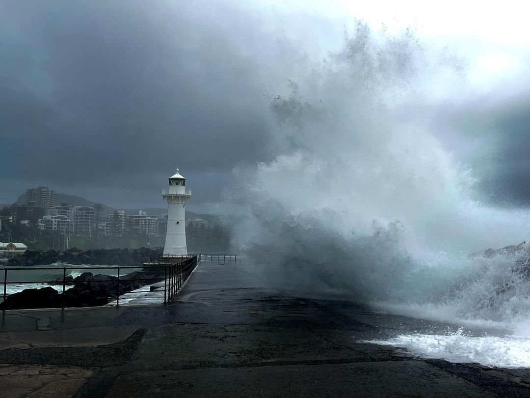
Cover photo: Huge waves hitting Wollongong at 7am, Wednesday, March 2. Source: Instagram, mooreys_photography