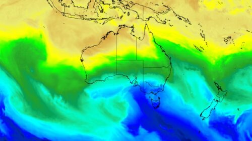
A two-pronged burst of cold weather is heading the way of southeastern Australia, bringing the sort of chill that was largely missing during Australia’s warmest August on record.
A relatively weak cold front passing through Tasmania this Wednesday will flick just enough cold air northwards to drop max temps by four degrees or more in cities in the SE corner of the mainland:
- Melbourne will drop from a max of 19°C on Wednesday to 15°C on Thursday.
- Canberra will drop from a max of 21°C on Wednesday to 17°C on Thursday.
- Sydney will drop from a max of 25°C on Wednesday to 19°C on Thursday.
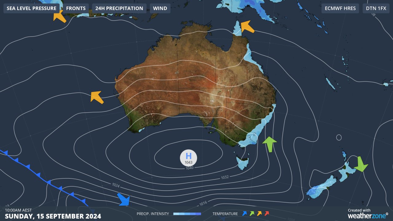
But that’s just phase one of the return to wintry temperatures. On Sunday, a second surge of cold air will push onto the mainland as winds circulate around the high pressure centred over the Great Australian Bight.
Sunday maximum temps in the three cities just mentioned are expected to be:
- Melbourne: 14°C
- Canberra: 15°C
- Sydney: 17°C
All three cities will no doubt feel a lot colder than the still-air temperatures due to blustery winds out of the south, with showers likely in both Sydney and Melbourne. Indeed the apparent temp (or “feels like temp”) is expected to be well below 10 degrees at midday in Sydney.
Meanwhile an exceptionally chilly morning can be expected at the top of Thredbo on Sunday, with a minimum of –8°C.
When the mercury dips that low overnight, it’s usually a sign of a dry airmass, and indeed any snow that falls on Saturday into Sunday morning will be short-lived, and definitely not enough to breathe life into the ailing ski season.
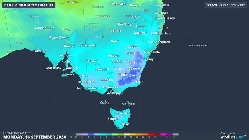
As the airmass continues to dry out, a cold start to Monday can be expected right across the southeast, with a minimum of 0°C in Canberra and a single-digit low in Sydney.
That’ll feel chilly for Sydneysiders, who probably threw the heavy doonas in the cupboard after a balmy minimum of 17.4°C on the last night of winter.
Weatherzone Business has grown to become the outright leader within the Australian energy market, serving wind, solar, hydro, trading, utilities and network companies.
You can’t control the weather, but you can gain precision insights to optimise your response. What lights us up is providing your energy business with tailored weather information to reduce your risk and keep you moving ahead of the curve.
Our services cover all aspects – from wind and solar generation to demand forecasts, wholesale markets to retail so, no matter where your company sits, we have solutions for you. We have worked closely with market participants to create products that meet the evolving needs of the sector, aiming to increase safety and profitability for our customers.
Benefit from the timely delivery of accurate weather information, allowing informed and effective decision-making. For more information, please visit our website or email us at business@weatherzone.com.au.