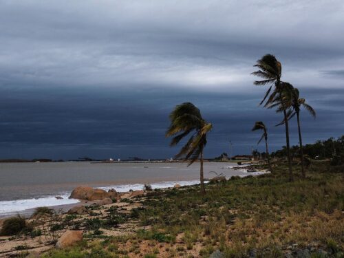
Damaging winds to locally destructive winds have lashed Tas in the last four days, with more to come. Have the blusterous winds caused high wind power generation or have the wind farms turned the turbines off cutting capacity?
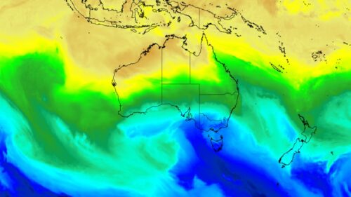
A deep low pressure system has lingered well to the south of Tas, directing a series of very strong cold fronts across the state this week.
The cold front that swept across Tas on Wednesday and Thursday brought damaging and locally destructive winds to the state:
- Mount Read observed a mean wind of 100km/h and 155.6 km/h gust at around 5am on Wednesday, August 28.
- Mount Wellington Pinnacle saw a 106km/h mean wind and a 145.5km/h gust around 11pm on Wednesday, August 28
- Maatsuyker Island lighthouse recorded a 120.4 km/h mean wind speed and a 137 km/h gust at around 2am on Thursday, August 29.
- Low Rocky Point saw a mean wind of 95km/h. And a gust of 137 km/h at around 7am on Wednesday, August 28.
Damaging westerly winds are impacting parts of Tas again on Friday, with Maatsuyker island lighthouse recorded a 107km/h mean wind and 137km/h gust at around 3am.
So how have these winds impacted wind power in Tas?
There are only four wind farms in Tasmania with 567MW capacity, located in central and northern parts of the state.

Image: Wind farm facilities in Tas. Source: OpenNEM
Wind gusts above 90km/h (25m/s) can damage the wind turbines and the propellers if they are spinning in these winds.
Most wind farms turn off the turbines if the wind speed reaches the ‘cut off’ wind speed of 90km/h (25m/s) to prevent damage to the turbines.
Unfortunately, if the propellers are turned off on the turbines due to high winds, wind power is not being harnessed. During these periods of intense winds, wind power capacities will be reduced if the turbines remain turned off.
The image below shows wind farm production in Tasmania was nearly at 100% capacity on Monday, August 26 and Tuesday, August 27, while capacity dropped off a little on Wednesday, August 28. You can also see that on Tuesday and Wednesday there were rapid drops in wind farm output across the state.

Image: Wind farm production in Tasmania as of 1:30pm on Wednesday, August 28. Source: ez2view, WattClarity by Global Roam
These wind farm capacity drops occurred as the strong cold front approached and crossed the state between late Tuesday and Thursday.
Unfortunately, observations are sparse near the Tas wind farms, however the two with the closest weather stations are Mussleroe wind farm (Swan Island weather station) and Woolnorth (Cape Grim weather station).
The graph below shows that Mussleroe wind farm saw significant cut outs between 7am and 10:30am and again around 5pm on Wednesday, August 28. Swan Island’s weather station recorded 96-102 km/h wind gusts during Wednesday morning, which exceeds the typical cut out speed of 90km/h.

Image: Mussleroe wind farm contribution to generation for three days leading up to early afternoon Friday, August 30. The red dotted line shows the registered capacity of the farm. Source: OpenNEM
Between 5pm and 6pm there was another drop in production, however wind speeds were below the usual cut out threshold. It is uncertain what caused this drop in production, however there was a wind direction change during this period which may have impacted the farm.
On Friday morning wind generation dropped again, with wind gusts at Swan island reaching 107km/h, likely causing cut outs.
The image below shows Woolnorth’s wind generation with production plummeting on Wednesday, August 28 and also Friday, August 30.

Image: Woolnorth wind farm contribution to generation for three days leading up to early afternoon Friday, August 30. The red dotted line shows the registered capacity of the farm. Source: OpenNEM
The significant and prolonged drops in wind production at Mussleroe on Wednesday were most likely due to wind cut outs with winds remaining between 91 and 104km/h for periods during the day at Cape Grim weather station. Of course, there will be differences in wind speed between the weather station and wind farm, however you can see the wind strength impacting the region.
Wind gusts peaked at 117km/h most likely contributing to the plummets in production on Friday, August 30.
Overall, production has been very good in the state, however, there have been some significant drops due to winds being too strong to be harnessed.
Looking ahead, winds should ease in some areas of the state, apart from exposed or elevated terrain by this evening. However, winds will strengthen overnight into Saturday morning and again between late Saturday into Monday as a series of cold fronts bombard the state. Damaging northwesterly winds could reach around 110km/h likely causing another bout of cut outs in the state.
When your renewables energy operations are affected by weather extremes, we offer solutions to keep your productivity and profits high.
Weatherzone Business, a DTN company, supplies precise weather intelligence to over 75% of the National Energy Market (NEM) participants and is the trusted provider for Australia’s Market Operator.
We offer weather data and analytics to support all aspects of your renewables business, with a wide range of specialised services covering energy generation and weather forecasting, to site-specific severe weather alerting and historical reporting.
Utilising Opticast’s data, we provide wind power generation, operational and severe weather forecasting to improve your planning and protect your valuable staff and assets. Utilise generation forecasts for individual wind farms, state level and the NEM at daily and hourly resolution.
Weatherzone’ Total Lightning Network ensures your wind farm is protected from severe storms by an alerting system that can be configured to your exact requirements, aligning with local site needs, procedures and legislation. To find out more, please visit our contact page or email us at business@weatherzone.com.au.