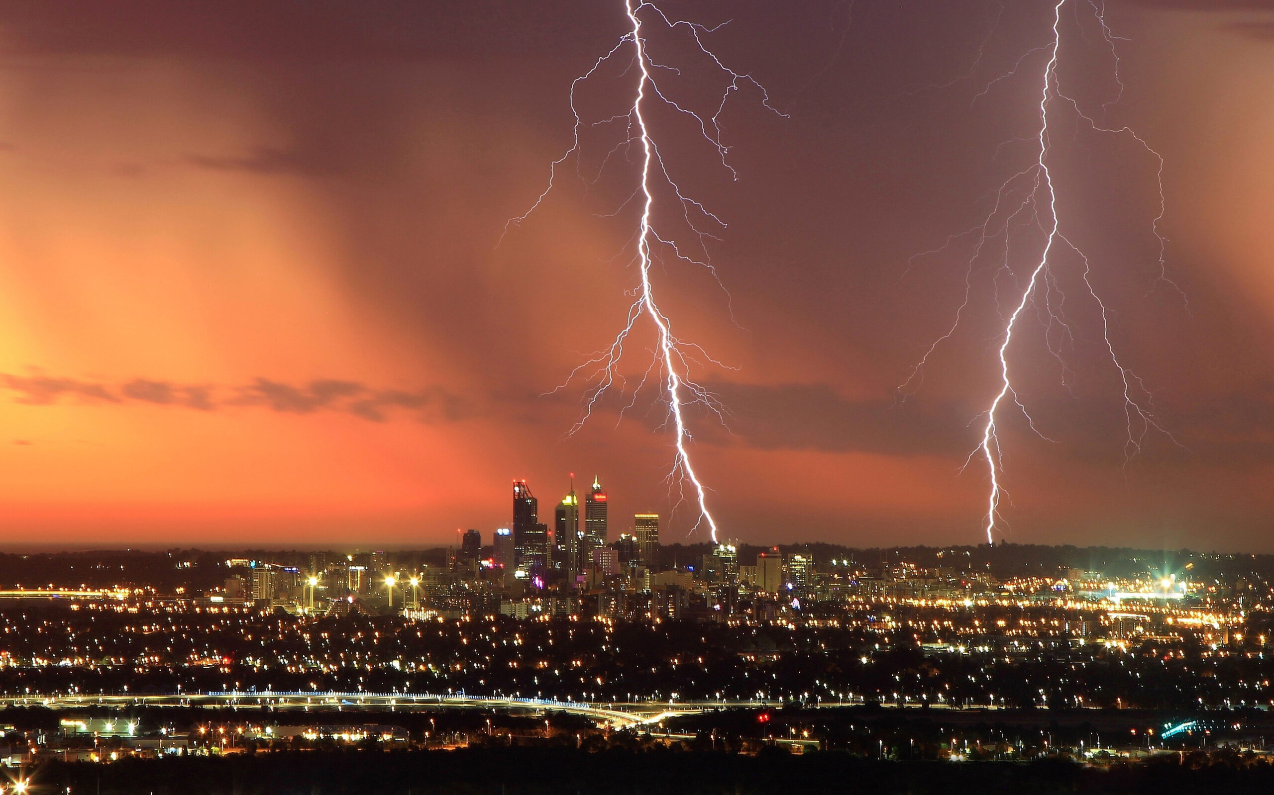
A dangerous mix of severe thunderstorms, heavy rainfall, powerful winds, small hail and cold wintry weather is on its way to southwestern WA.
This weather will be generated by a strong cold front sweeping across southern WA later Wednesday into Thursday.
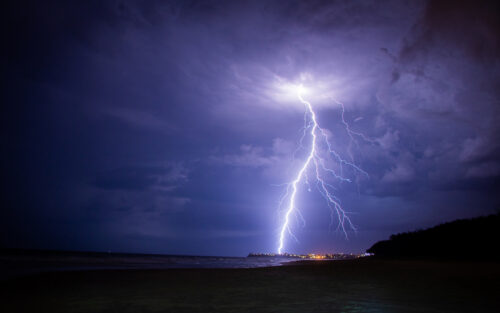
This cold front should produce severe thunderstorms as an unstable airmass moves over the southwest on Wednesday into Thursday. These thunderstorms have the potential to produce heavy rainfall, large hail and damaging winds. This atmospheric set up has the potential to also cause tornadoes, with destructive winds.
This event also has the potential to cause a meteotsunami along WA’s west coast, causing rapid water level rises and flooding in coastal areas on Wednesday evening. Low-lying regions, harbours, and marinas are vulnerable to a meteotsunami. The Fremantle coast is one of the most prone locations in the world for meteotsunamis.
Meteotsunami: Also known as a meteorological tsunami, is a tsunami-like wave phenomenon caused by rapid changes in atmospheric pressure and fierce winds associated with weather systems such as squalls, thunderstorms, and frontal passages. Meteotsunami waves are typically much smaller than oceanic tsunami waves caused by earthquakes.
The image below shows that widespread falls of 20 to 40mm are forecast in the next 3 days in southwest WA, with isolated totals of around 40 to 80mm.
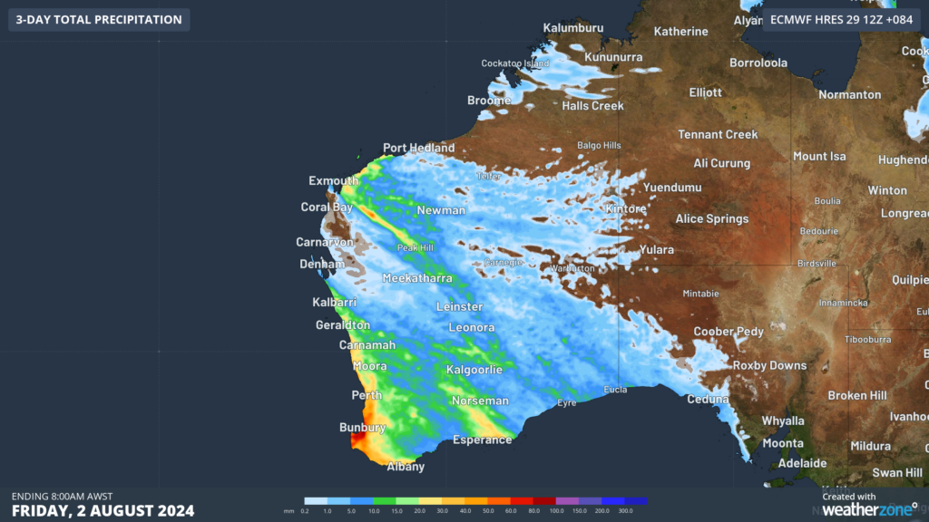
Image: Accumulated 3-day rain to 8am on Friday, August 2,
The rain will be heavy along the west coast and adjacent inland areas, and in thunderstorms there is potential for very heavy rainfall that may lead to flash flooding.
Given this rain will fall onto an already saturated landscape from recent rainfall and storms, there is potential for trees to come down in intense winds and thunderstorms. If trees topple powerlines, there is significant potential for power outages.
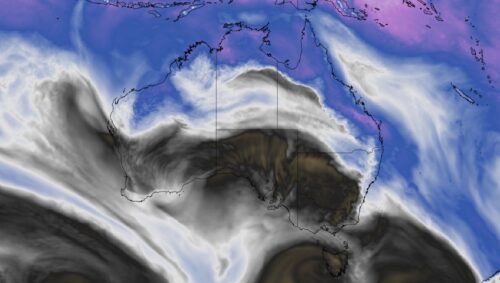
In addition to the heavy rain and thunderstorms, a polar airmass will move across the southwest on Thursday, causing temperatures to plummet across the region.
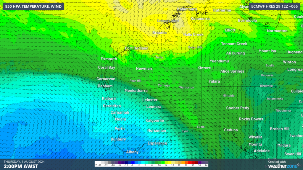
Image: 850 hPa temperature and wind forecast at 2pm AWST on Thursday, August 1, according to ECMWF
Perth’s daytime temperature should only reach 15 to 16 °C on Thursday and Friday, around two to three degrees below the August average.
This frigid airmass may also bring small hail to parts of the southwest during this period.
High winds associated with this front should also make these temperatures feel much colder than the actual temperature with wind chill.
Stormtracker is a severe weather solution that can assist you in observing, in real-time, any storm or event that has the potential to impact your business.
Embedded in Weatherzone Business’ industry interfaces, the system gives you a time advantage when monitoring conditions developing over your infrastructure and location.
Stormtracker is our Global Information System (GIS) tracking tool, providing multiple weather layers and zoom controls overlaid on a map of your location and infrastructure. You can choose a snapshot or full screen view, depending on your requirements. The maps allow you to monitor all weather, and specifically any systems likely to cause risk for your business. You also have the capacity to observe:
- real time lightning and thunderstorm alerts
- localised lightning strike frequency
- official warnings for storm, cyclone, wind, flood and fire
- sentinel hotspot fires and fire agency current incidents
Stormtracker’s radar imagery updates every 10 minutes, so you are always able to respond rapidly to changing conditions. You can customise alerting to notify you when your staff or infrastructure are under threat. With increased situational awareness, your ability to make informed decisions quickly is optimised.
Weatherzone Business’ experience and intelligence gives you a clear path through complex situations. Let us assist you, offering actionable insight when extreme weather poses risk to your business. To find out more, please visit our contact page or email us at business@weatherzone.com.au.