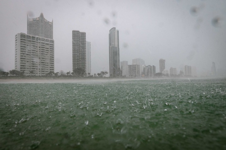
Parts of southeast Qld just received more than a month’s worth of rain in 24 hours, with some areas on the Gold Coast collecting around 100 mm in six hours overnight.
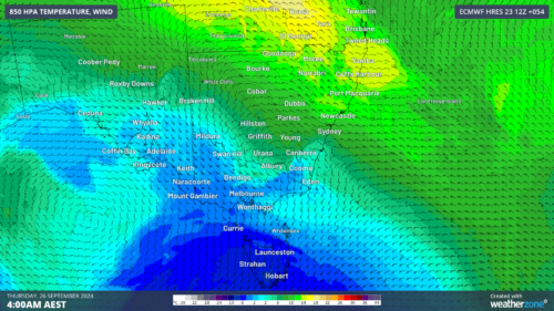
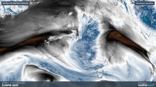
A low pressure trough and developing low pressure system produced thick clouds and widespread rain across southeast Qld and northeast NSW during Monday night into Tuesday morning.
Video: Radar imagery showing observed rainfall over southeast Qld and northeast NSW between Monday afternoon and Tuesday morning.
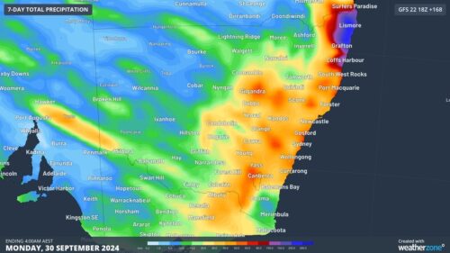
Most places to the east of a line from Gympie to Goondiwindi and north of Lismore received 30 to 80 mm of rain during the 24 hours to 9am on Tuesday.
A focussed area of heavy rain inundated the Gold Coast and Tweed Coast and adjacent hinterland, where numerous rain gauges received 100 to 150 mm during this period.
The heaviest falls during the 24 hours ending at 9am on Tuesday included 168 mm at Loder Creek Dam, 158 mm at Molendinar and 151 mm at Biggera Ck Dam.
Coolangatta’s 117 mm in this period was its heaviest daily total in May since 1990. The Gold Coast Seaway also picked up 116 mm to 9am on Tuesday, its wettest May day since 2003.
On the NSW side of the border, Byron Bay’s 53.2 mm up to 9am Tuesday was half a month’s worth of rain for this time of year.
While rain has been intense in some areas, this is only a short-lived event. Drier weather had already returned to most areas of southeast Qld and northeast NSW by Tuesday morning and the last of the rain should clear off the coast by the afternoon.
Weatherzone Business’s meteorologists can provide special, short-notice weather briefings when severe weather is expected for your business, explaining what will happen and its impact on you business. To find out more, please email us at business@weatherzone.com.au.

