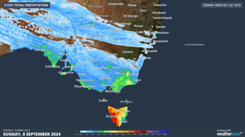
A burst of rain and thunderstorms swept over a number of active fire grounds in northern NSW and southern Qld on Friday, delivering a bittersweet mix of welcome rain and pesky lightning.
Friday is the first day of a prolonged rain and thunderstorm outbreak that is expected to linger over eastern Australia for at least the next 7 to 10 days. This wet and stormy weather pattern is being caused by a persistent low pressure trough being fed by moisture-laden air.
The multi-day rain and storms will help reduce or extinguish some of the fires that have been burning across NSW and Qld in recent weeks.
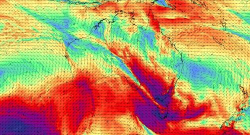
The animation below shows clouds, rain and lightning spreading over northern NSW and southern Qld early on Friday afternoon.
.gif)
As of 4pm AEDT, around 20 mm of rain had fallen near Tenterfield, where a number of large fires have been burning in recent weeks. A few gauges in southern Qld had received around 30 mm during the same period, including 27 mm near the active fires in the Wallangarra area.
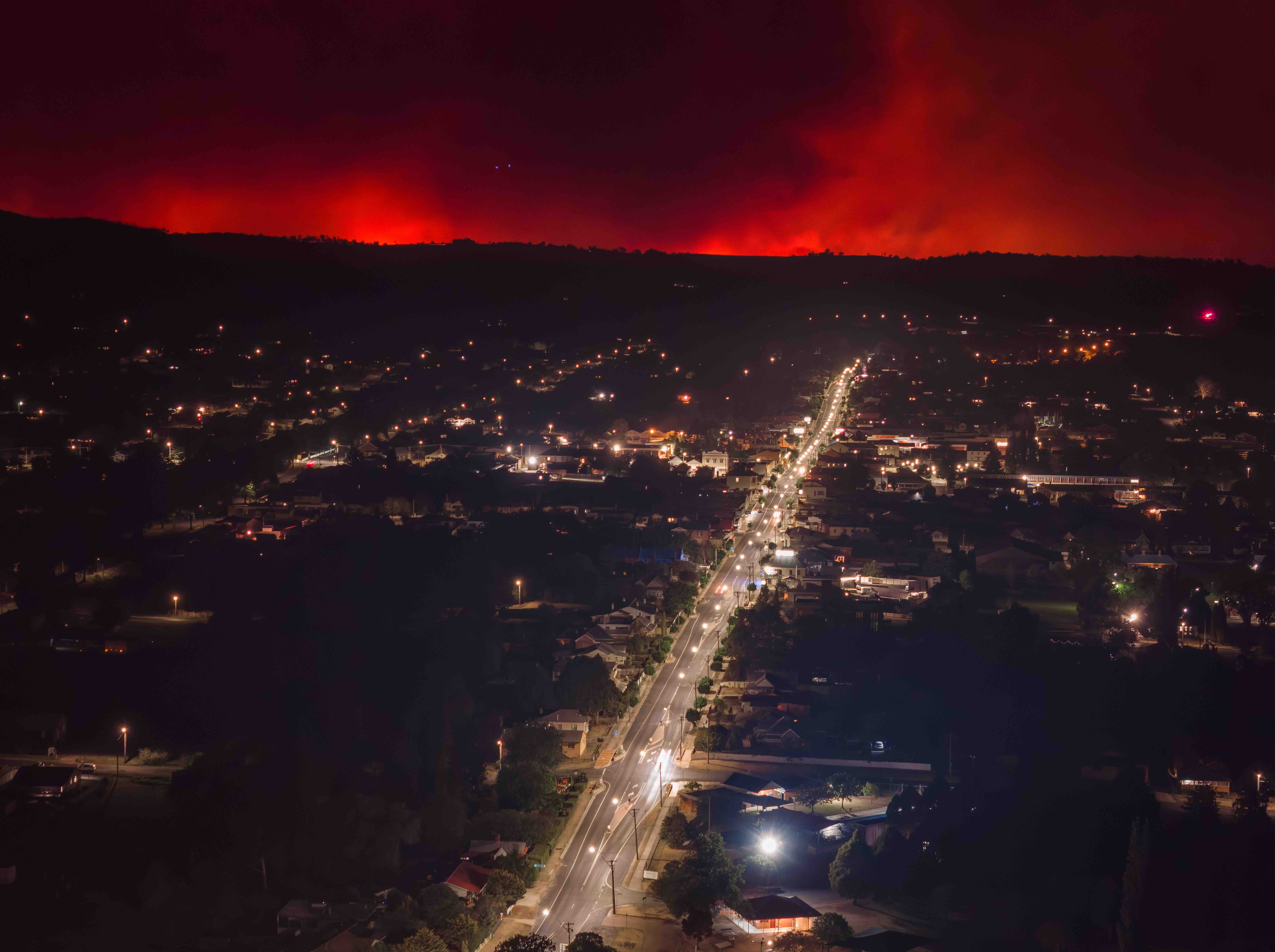
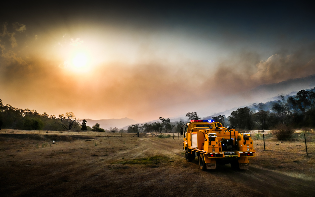
Image: Fire on the horizon near Tenterfield on Tuesday, October 31, 2023. Source: AAP/Tyr Liang
While Friday’s rain was a welcome sight at the fire grounds in NSW and Qld, the lightning accompanying it posed a risk of starting new fires.
A large number of lightning strikes were detected to the west of Tenterfiled on Friday, prompting the NSW Rural Fire Service to ask landowners to check their properties for new fires.
Lightning strikes have been detected in the north of the state, west of the current fire activity near Tenterfield. It’s important you check your property for any new fires. Report all unattended fires to Triple Zero (000) immediately. https://t.co/SwFG8PAiJ8 #NSWRFS pic.twitter.com/rOGOLe6BHE
— NSW RFS (@NSWRFS) November 3, 2023
A mix of rain and thunderstorms will continue over parts of NSW and Qld for at least the next week. Be sure to check the latest fire information on the RFS and QFES websites.