POWERING SMARTER WEATHER DECISIONS
Search

Brisbane’s coldest pair of days in 66 years


Blanketing cloud cover and persistent rain sent shivers across large areas of Queensland over the last 48 hours, with Brisbane enduring its coldest pair of days since 1956.

The sequence of satellite images below shows a large cloud band slowly passing over central and southeast QLD during the last two days.

Daytime temperatures on Monday and Tuesday were very cold by QLD standards beneath this deck of thick cloud. Maximums stayed about 8 to 12ºC below the July average in large areas of central and southeast QLD, with some places experiencing their coldest weather in more than half a century.

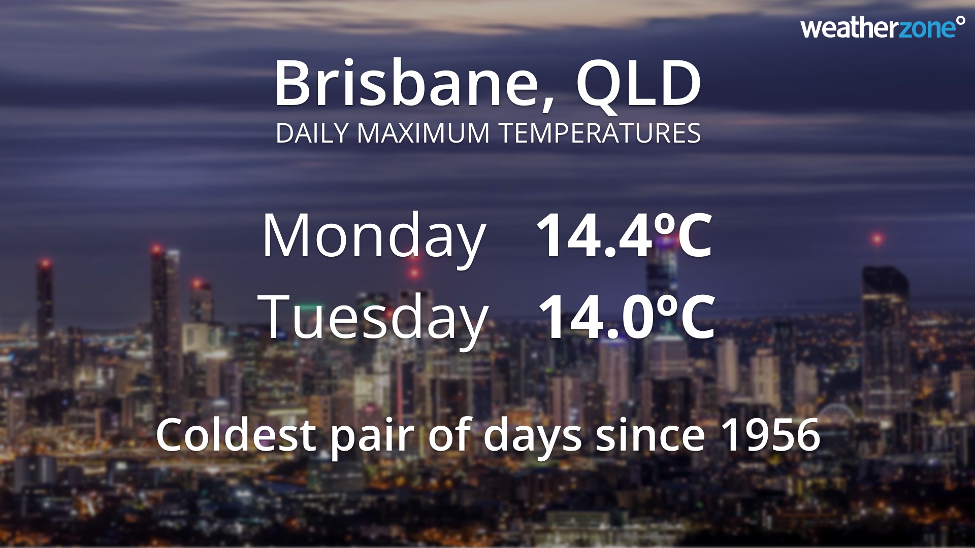
Brisbane’s official maximum temperatures on Monday and Tuesday were 14.4ºC and 14.0ºC respectively, making Tuesday the city’s coldest day in nine years. These maximums are both well below the city’s long-term July average of 22ºC. It was also Brisbane’s first pair of days below 15ºC since 1956.
The cold weather of the last two days was widespread across QLD, with Townsville (15.1ºC), Bundaberg (12ºC) and Gympie (13C) all registering their coldest day in 15 to 17 years this week.
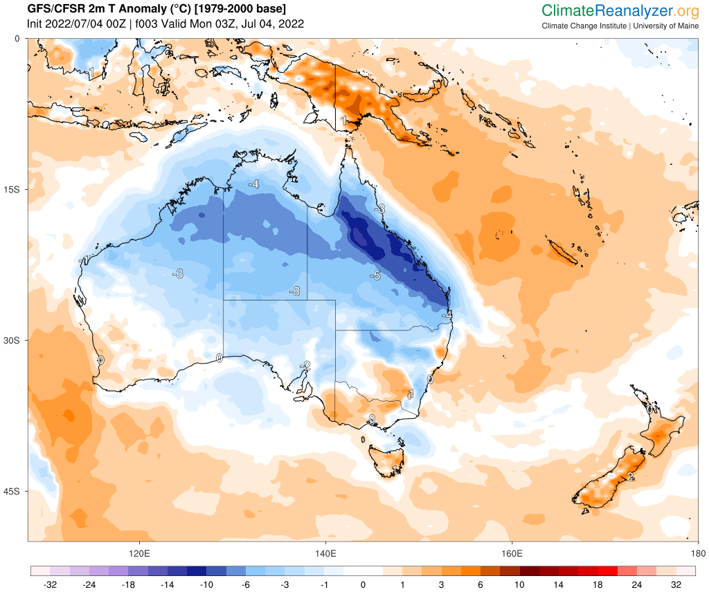
Image: Modelled air temperature anomalies over Australia on Monday afternoon, July 4, showing well below-average temperatures across much of Queensland. Source: ClimateReanalyzer.org

Fortunately for those Queenslanders that don’t like this week’s wintry chill, sunnier and warmer weather will return over the next few days as the cloud band moves out across the Coral Sea. For more information on our temperature and energy forecasts, please contact us at business@weatherzone.com.au.

Latest news

Satisfy your weather obsession with these news headlines from around the nation, and the world.

Another wave of rain to soak Australia’s east

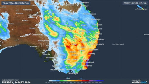
Widespread rain and thunderstorms will spread over Australia’s eastern inland over the next few days, before drenching already sodden parts of the NSW coast this weekend. The atmosphere above eastern Australia is being loaded with moisture this week thanks to the influence of a stubborn high pressure system centred to the south of the country. […]

How severe thunderstorms impact energy infrastructure

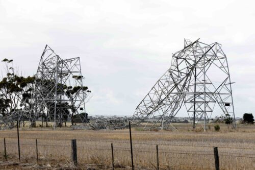
Earlier this year destructive thunderstorms and winds equivalent to a category two cyclone lashed Victoria, bending towers and toppling trees and poles.  So, how can thunderstorms damage energy infrastructure, and are these events getting worse?   This event occurred during mid-February 2024, when a strong cold front generated severe thunderstorms and localised wind gusts of 130km/h […]

Unrelenting high pressure dominating Australia’s weather

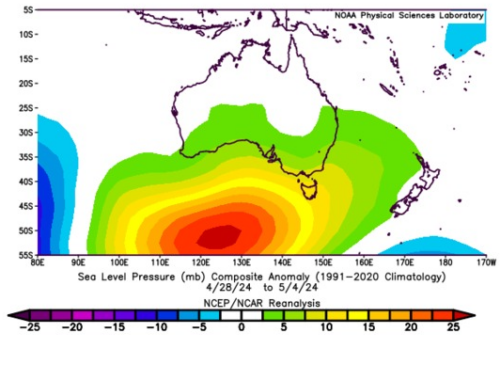
A stubborn area of high pressure has been entrenched to the south of Australia over the last few weeks, causing a lengthy run of repetitive weather across the country. Weather systems in Earth’s mid-latitudes typically move from west to east. This includes the high and low pressure systems, cold fronts and low pressure troughs that […]

500km line of storms sweeping across the Goldfields, WA

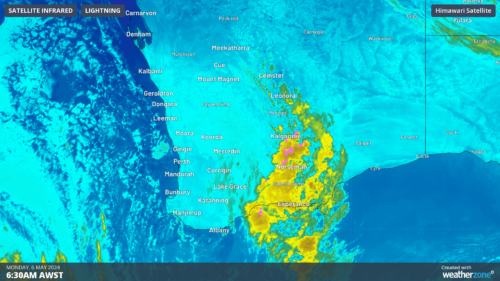
Weatherzone’s Total Lightning network captured over 32 thousand lightning strikes in the Kalgoorlie region on Sunday and Monday, with more rainfall to come at the end of this week for the state’s southwest.  The image below shows a 500km line of thunderstorms stretching between Leinster and Salmon Gums on Monday morning as the sun rises.  Image: […]