A burst of warm and windy weather will cause a spike in fire danger ratings across southern Australia during the opening days of spring.
Australia’s spring, which officially starts on September 1, has arrived right on time in the nation’s southern states.
Warm and gusty north-westerly winds are developing over Western Australia today ahead of an approaching cold front and low-pressure trough.
The surge of warm and dry air will cause Catastrophic fire danger ratings in the state’s Eucla District, where temperatures will reach the mid-30’s, wind speeds could hit 50 km/h and relative humidity could dip into single figures.
Over the next 48 hours, strong and potentially damaging winds will spread further east across South Australia and parts of Victoria, Tasmania and southern NSW.
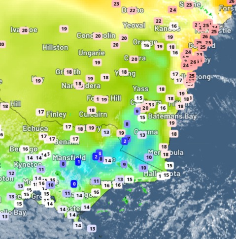
Temperatures are likely to reach the low-to-mid thirties across most of SA, northwest Victoria and western NSW on Thursday. Even the southern capital cities are going to be feeling the early-season warmth:
- Adelaide’s predicted top of 31ºC on Thursday would be almost 13ºC above average for September
- Melbourne’s forecast of 26ºC is around 8ºC above average for this early in spring
- Hobart could hit 25ºC, about 9ºC warmer than average for this time of year.
This warmth will be accompanied by strengthening north to northwesterly winds, which will carry dry air from the interior towards the coast. The blustery winds may cause damaging gusts in parts of South Australia, Victoria, Tasmania and southern NSW on Thursday, and again in Victoria and southern NSW on Friday.
Areas of raised dust could be kicked up in parts of South Australia, northwest Victoria and far western NSW on Thursday in the dry and gusty pre-frontal winds.
The mix of hot, warm and windy weather will also cause an early-season spike in fire danger ratings on Thursday in South Australia, northwest Victoria and far western NSW.
While parts of Western Australia and New South Wales have already entered their bushfire danger rating period, the official start of the fire season is still a month or two away for South Australia and Victoria.
After this brief burst of early-spring heat, temperatures will plummet as a cool change sweeps through on Thursday and Friday.
The change should reach Adelaide on Thursday evening, Hobart on Friday morning and Melbourne Friday afternoon. Temperatures are likely to drop by around 10-15ºC in the wake of this change.
Looking ahead, temperatures will stay on the cooler side through the rest of this week as a near-stationary high-pressure system drives southerly winds into southern Australia. Daytime maximums will stay 2-4ºC below average in Adelaide and Melbourne for about four days following this week’s cool change.
Weatherzone provides our clients with temperature, wind, humidity, and fire danger forecasts out to 14 days, for more information, get in touch at business@weatherzone.com.au.


